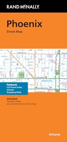
Rand McNally Folded Map: Phoenix Street Map
by Rand Mcnally

Updated full-color Phoenix street map with labeled highways, points of interest, parks, schools, and a detailed index for easy navigation.
About This Book
Regularly updated, full-color maps provide clear and accurate navigation for the Phoenix area.
Clearly labeled Interstate, U.S., state, and county highways help users plan routes efficiently.
Indications of parks, points of interest, airports, county boundaries, schools, shopping malls, and downtown maps are included.
An easy-to-use legend supports quick map reading and orientation.
A detailed index and full street index allow users to locate specific locations with ease.
Reviews
No reviews yet. Be the first to review this book!