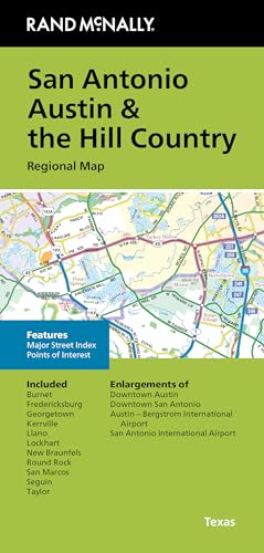
Rand McNally Folded Map: San Antonio Austin & the Hill Country Regional Map
by Rand Mcnally

Updated regional map of San Antonio, Austin, and the Hill Country with highways, attractions, downtown enlargements, and detailed indexes for easy navigation.
About This Book
Regularly updated, full-color maps present clear details for travel planning.
Interstate, U.S., state, and county highways are labeled for easy navigation.
Parks, points of interest, airports, schools, and shopping areas are indicated.
Downtown enlargements and airport maps for Austin and San Antonio are included.
A detailed index and legend support quick reference and route finding.
Reviews
No reviews yet. Be the first to review this book!